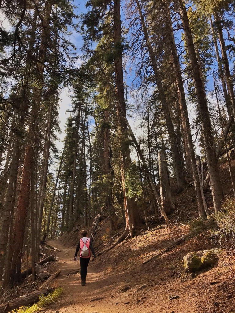
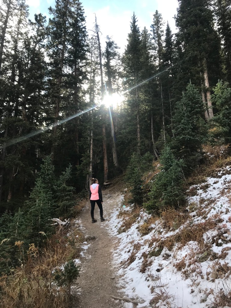
This hike is definitely not for the faint of heart. The first mile or so is the hardest as you are going up an incline, encountering switchbacks after switchbacks with a pretty rapid elevation change. My friend and I have done hikes before, but wouldn’t necessarily consider ourselves to be “in shape”. It took us 2.5 hours to get to the lower lake and 2 hours to get back to the trailhead.

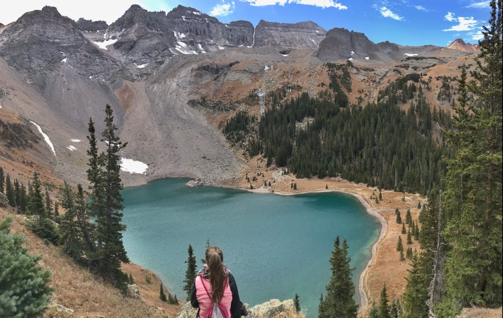
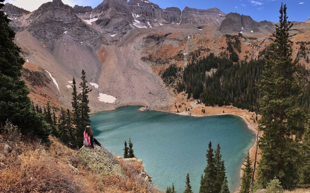
Once we got to the lower lake it quickly became extremely windy. If you decide to go in the fall time, I would make sure you dress properly. Thankfully we brought hats, gloves, scarves, and layers – but it was still uncomfortable. The sun still wasn’t out once we got to the lower lake, so the water wasn’t as bright as I had seen in photos. We stopped and took a few photos at the lake before reaching the higher ground to get better pictures of the lake like I had seen online.
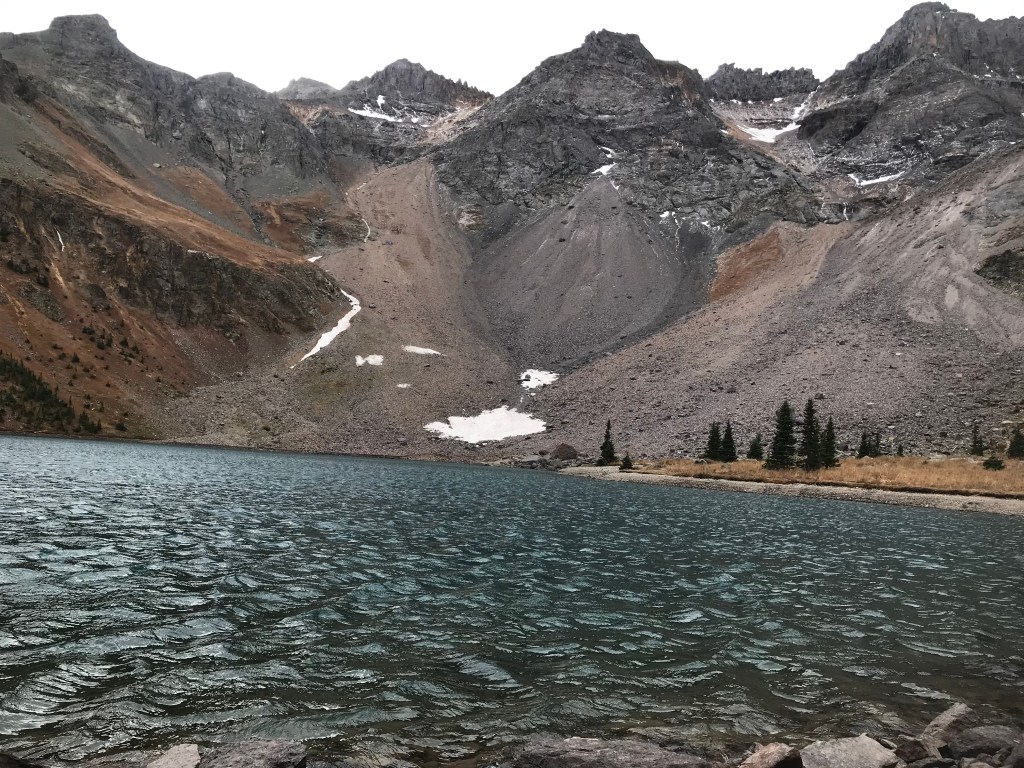
If you continue up the “blue lake pass” path for about 10 minutes time, you’ll be able to stop and get a better view of the lake. If you’re like my friend and me, we were already exhausted from the hike to the lower lake that we opted out of going to the upper. Plus, I have always heard that the lower lake was prettier than the upper. The path up the “blue lake pass” isn’t well marked. My friend and I came upon a short rock wall that we decided to climb, , and once we got over it we saw the rest of the path. We walked into the middle of the mountain/hill where there were some rocks to sit on and this is the view we got: