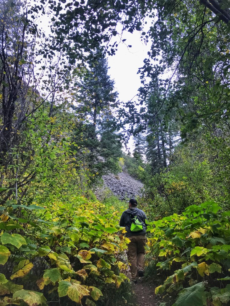
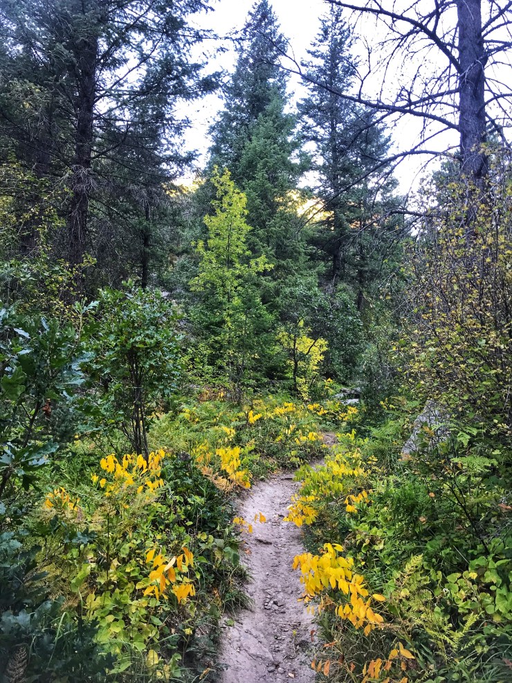
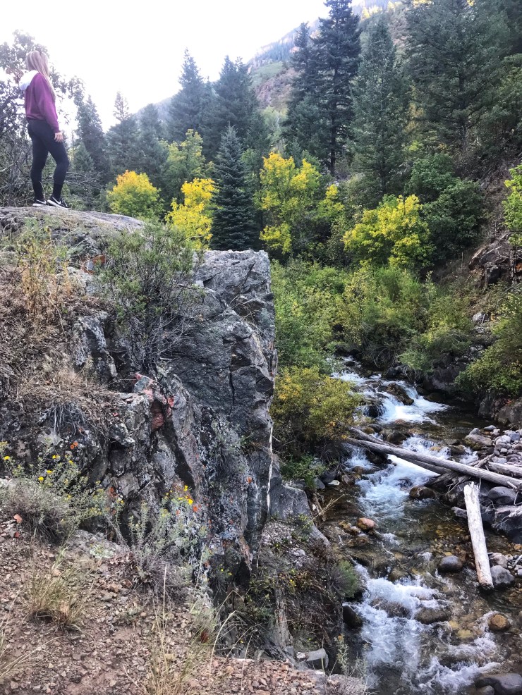
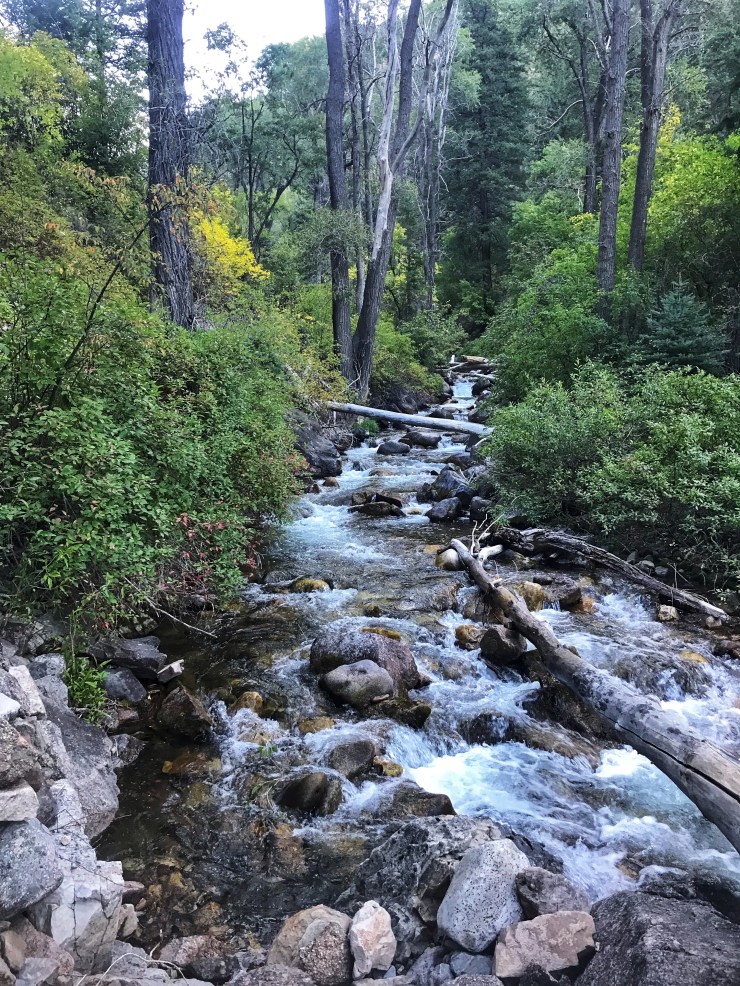
I would definitely recommend this trail! I got to the trailhead around 8am, and at the trailhead there are directions on which way to go to start the hike. I have the alltrails pro app on my phone, so I had the downloaded GPS map of the trail on me. There really isn’t an “end point” for this trail – it’s rather just a hiking trail that you follow and then turn around. Throughout the majority of the hike the No Name Creek follows you – it was nice having the sound of the water in the background! This would be a beautiful hike during the fall and when colors start to peak. I went the third weekend in September and the trees were just starting to turn. I hiked for an hour and a half and then decided to turn around since I knew there wasn’t an “end point” and I felt I had seen the trail the best we could. At some point during the trail there is a fork in the road – take the left that goes uphill. I had taken the trail leaning towards the right, which my alltrails pro app notified me that we were going the wrong way.
I wouldn’t worry about it too much, but definitely keep an eye out for wild life. Towards the end of the trail once I was on the gravel road walking back to my car, I saw some Big Horn Sheep on the road ahead around the corner. They heard me and immediately ran up the hill. I kept walking and when I turned around and looked up the hill to see if I could see them, what looked like the father of the pack was standing tall with its chest out staring right at me as I kept on walking. I saw that there was a baby with them, so I’m sure they were just being cautious of me. As I stated before, I just kept the pace and kept walking on the road to my car since I didn’t know if they would come back down the hill if they felt threatened in any way.
